Advisory
Please take note of the following before your visit.
- Voyageurs Pathway: Section closures until August 2024
- Closures on the Voyageurs Pathway and Ottawa River Pathway from July 22 to August 22, 2024
- Partial Closure on Colonel By Drive and Rideau Canal Eastern Pathway from July 3 to August 30, 2024
- Closure of sections of the Ottawa River Pathway on May 1, 2024
- Closure of a section of the Voyageurs Pathway until November 2024
- Closure of the Ottawa River Pathway near the LeBreton Flats Riverfront from March 25 to December 2024
- Closures as part of the Westboro Beach Area Redevelopment Project
- Closure of sections of the Ottawa River Pathway behind Parliament Hill
- Closure of a section of the Ottawa River Pathway, in Major’s Hill Park
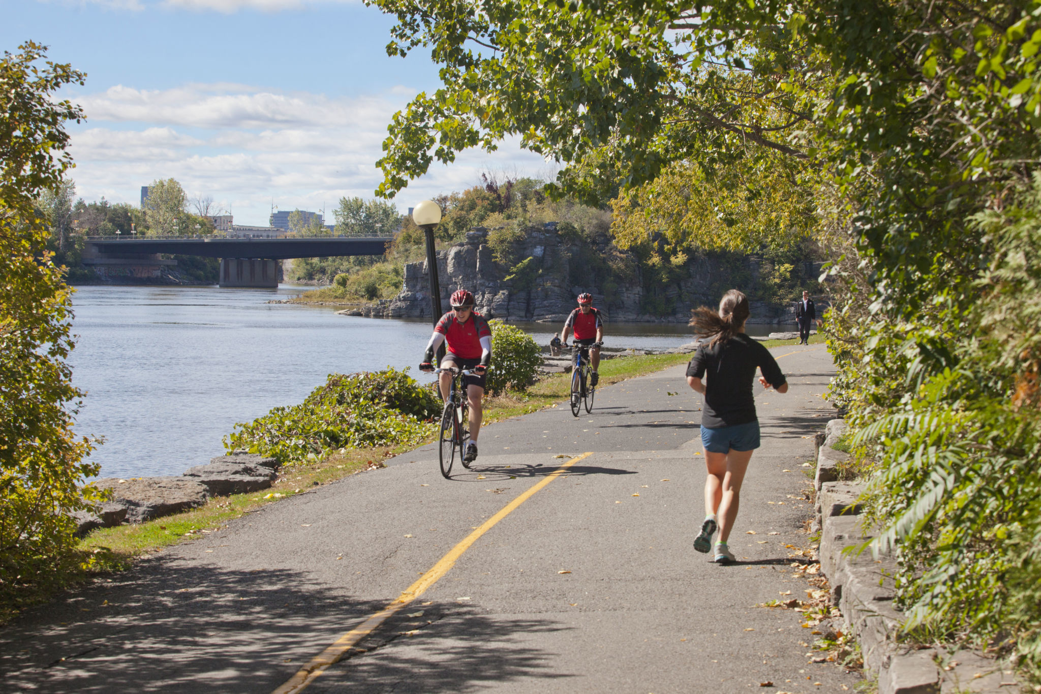
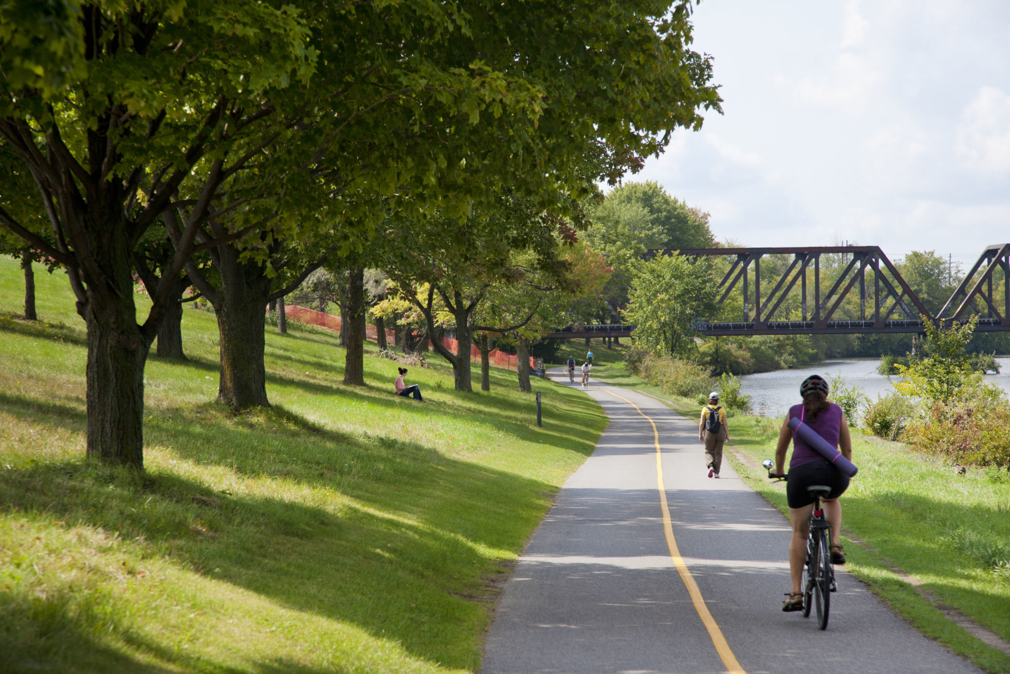
The Capital Pathway is one of the most extensive pathway networks in North America. It includes over 200 kilometres of off-road, multi-use pathways, extending from Gatineau Park, through Ottawa–Gatineau and into the Greenbelt. It connects the Capital’s parks, gardens, museums and attractions.
The network forms a series of unique discovery routes, passing through the city centre, the suburbs, the countryside and wooded areas. It offers a safe and fun way to spend time outdoors, as well as a safe route for commuting.
The Capital Pathway is for everyone: pedestrians, joggers, cyclists, in-line skaters, people with a mobility impairment, skiers, snowshoers and snow bikers.
Important
- Share the path. If all pathway users follow a few simple rules, pay attention and communicate with each other, everyone can have fun and get where they’re going safely.
- You can walk your leashed dog at any time of year on the Capital Pathway network. Skiing, skating or cycling with your dog is not allowed.
- Sections of the Capital Pathway are sometimes closed for maintenance and repairs. Check for closures before you go.
Explore the Capital Pathway
Directions
The Capital Pathway network is easily accessible, as it crosses public streets, parks and public spaces throughout the Capital landscape. LRT/bus stations and parking lots also provide access to the pathways.
Maps and planning tools
The Ottawa–Gatineau Cycling Map displays all of the major cycling paths and trails in the National Capital Region, including the Capital Pathway network.
Ottawa-Gatineau Interactive Cycling Map
Download an electronic copy of this map, or pick up a hard copy at one of many locations throughout the Capital.
Facilities
- Parking: Free and paid parking is available at many locations along the pathways. With a few exceptions, most NCC-maintained parking lots close for winter in mid-November.
- Washrooms and drinking fountains: The washrooms and drinking fountains in NCC-maintained parks are typically open from May to mid-October.
- Universal accessibility: From spring to fall, most of the pathways are accessible for people with a mobility impairment. Other than the paths along the Ottawa River, the Gatineau side of the network is very hilly, so it is not recommended. In winter, most of the network is snow-covered and not universally accessible.
About the Capital Pathway
The Capital Pathway is a key part of the region’s broader active mobility network. It connects with on-road cycling routes, municipal multi-use pathways, sidewalks, walkways in the Capital’s urban parks, and hiking trails in Gatineau Park and the Greenbelt.
It also links the Capital to hundreds of locations across Canada via the The Great Trail of Canada, which today consists of 27,000 kilometres of multi-use trails. The pathways in the Outaouais are also part of the 5,300-kilometre Route verte network.
Pathway patrol
During summer, pathway patrollers help ensure that your outing is safe and enjoyable. They can provide directions, information, first aid and emergency care, and basic equipment repairs. Pathway patrollers include the Ottawa Police, Gatineau Police, RCMP and volunteers from the City of Ottawa’s volunteer pathway patrol and Vélo-Services’ volunteer pathway patrol.
Pathway maintenance, rehabilitation and expansion
Every spring, as soon as the snow melts, the recreational pathways are cleaned and repaired by our maintenance teams to be ready for use. The NCC oversees rehabilitation work on the 236 kilometres of the Capital Pathway network for which it is responsible.
Capital Pathway Strategic Plan
In fall 2020, the NCC approved the Capital Pathway Strategic Plan, which provides a framework for long-term planning and day-to-day management of the multi-use pathway network in Canada’s Capital Region. This 10-year plan presents directions and strategies to make the pathway network the best it can be.
Get a map
You can get a copy of the Ottawa–Gatineau Cycling Map at the:
- Ottawa City Hall (110 Laurier Avenue West, Ottawa)*
- Ottawa Public Libraries*
- Maison du citoyen (25 Laurier Street, Gatineau)*
- Gatineau Park Visitor Centre (33 Scott Road, Chelsea)
- NCC River House (501 Sir George-Étienne Cartier Parkway, Ottawa)
* These sites are not managed by the NCC. Please contact them directly for their hours of operation.
Winter use of the pathways
During the winter, most of the network is not cleared of snow, and remains available for the enjoyment of winter activities such as snowshoeing and cross-country skiing.
However, some sections of the network are cleared of snow, and others are groomed for shared winter recreational activities.