Three major rivers flow through the region: the Ottawa, Gatineau and Rideau rivers. One of the NCC’s priorities is to facilitate public access to the Capital’s shorelines.
The Ottawa River North Shore Parklands Plan guides the long-term planning of these riverfront lands.
Getting to know the riverfront
Riverfront lands on the north shore of the Ottawa River, in the Capital’s core area, run adjacent to urban neighbourhoods in Gatineau, and are primarily federal lands. These lands provide an excellent vantage point from which to view and appreciate the Capital’s most iconic and symbolic federal landmarks. These riverfront lands are an important part of downtown Gatineau’s green network, providing parks that can accommodate large public gatherings. They also provide a natural environment along the riverbanks.
The area targeted in the plan includes the following:
- Federal lands between Jacques-Cartier Park North and Ruisseau de la Brasserie (Brewery Creek) in Gatineau
- Federal lands at both ends of Brewery Creek shorelines
- A total study area of 68.8 hectares
About the plan
The objective of the Ottawa River North Shore Parklands Plan is to guide decisions by basing them on a long-term vision. The plan proposes land uses and design guidelines for federal lands in the study area that will contribute to achieving that vision.
The following four roles are identified for these riverfront lands:
- Offer a wide range of experiences
- Provide access to the river
- Showcase the symbolism of the Capital
- Enhance the natural environment
The plan also proposes land use concepts aimed at achieving the vision of creating a destination in the Capital core area. The following are some of the proposals included in the plan:
- 39.6 hectares of natural park, of which 27.7 hectares is urban forest
- an activity hub at the Alexandra Bridge exit
- five sites for hosting events
- a balanced sequence of tranquil and animated sites
- a complete waterfront route around Hull Island (7.4 kilometres), including the addition of 1.6 kilometres of new pathways
- 10 hectares of newly accessible lands
- a series of water access points, and new water access points for non-motorized boats
- a showcase of the region’s history and heritage
Ideas and comments gathered during public and stakeholder consultations informed our Ottawa River North Shore Parklands Plan, which was approved by the Board of Directors in April 2018.
Monastery at 210 Laurier Street, Gatineau
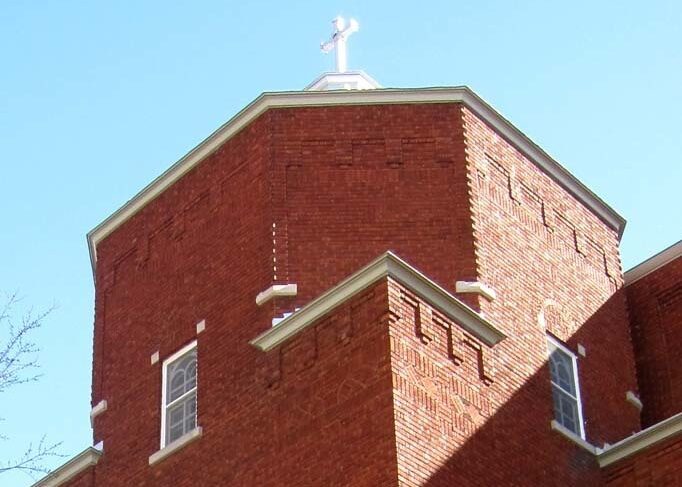
In keeping with the Ottawa River North Shore Parklands Plan, the NCC acquired a riverfront property located at 210 Laurier Street in Gatineau, Quebec. The main building and the surrounding land will be repurposed and blended into Jacques-Cartier Park.
Documents
- Ottawa River North Shore Parklands Plan (13.159 MB)
- Ottawa River North Shore Parklands Plan Amendment - April 18, 2024 (14.536 MB)
- Public Consultation Report - Ottawa River North Shore Parklands Plan 2017 (429.349 KB)
- Public Consultation Report - Ottawa River North Shore Parklands Plan 2014 (5.683 MB)
- Ottawa River North Shore Parklands Workshop (416.497 KB)