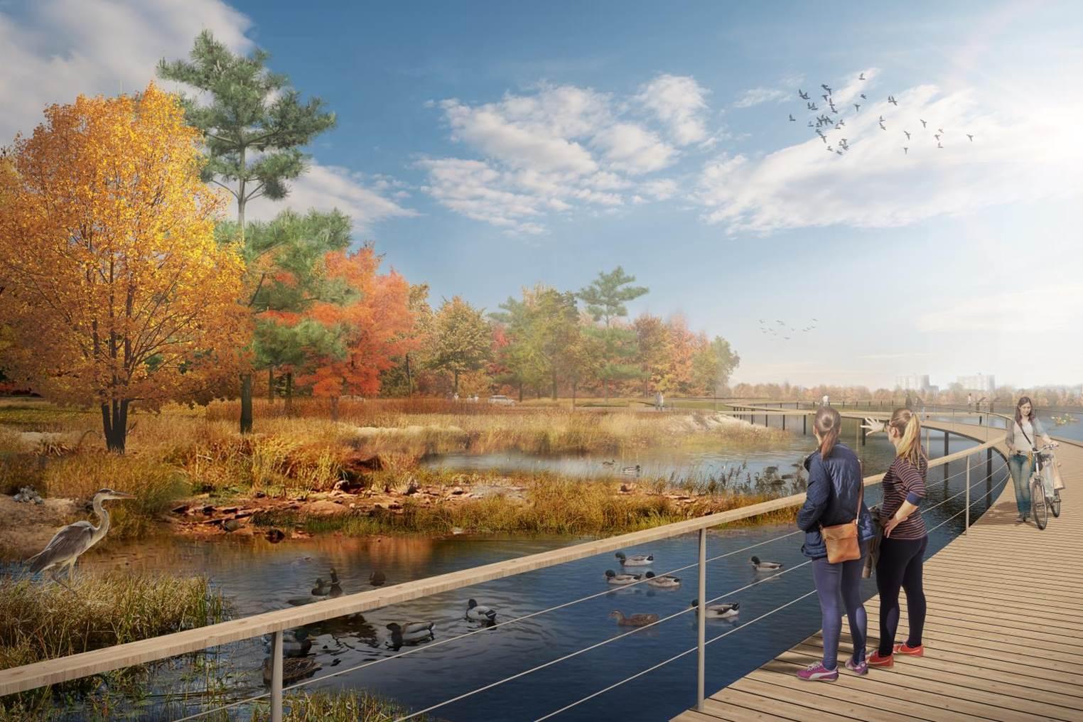
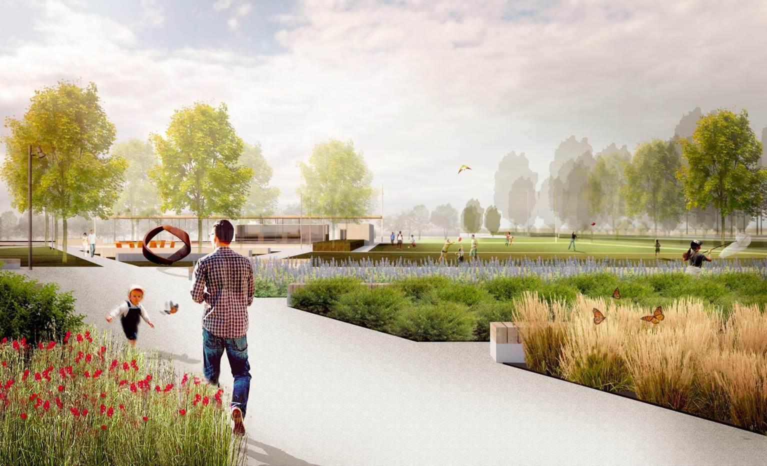
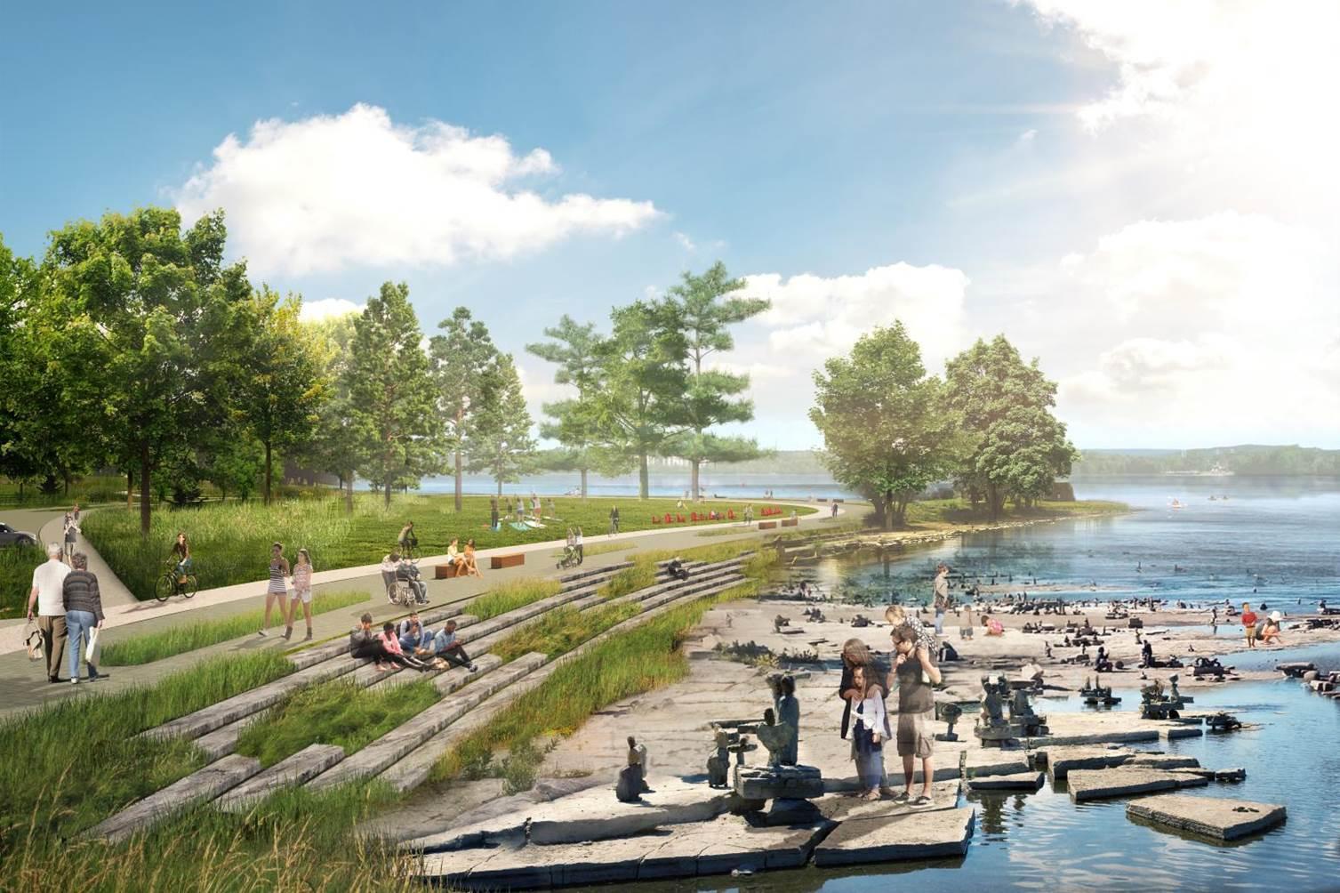
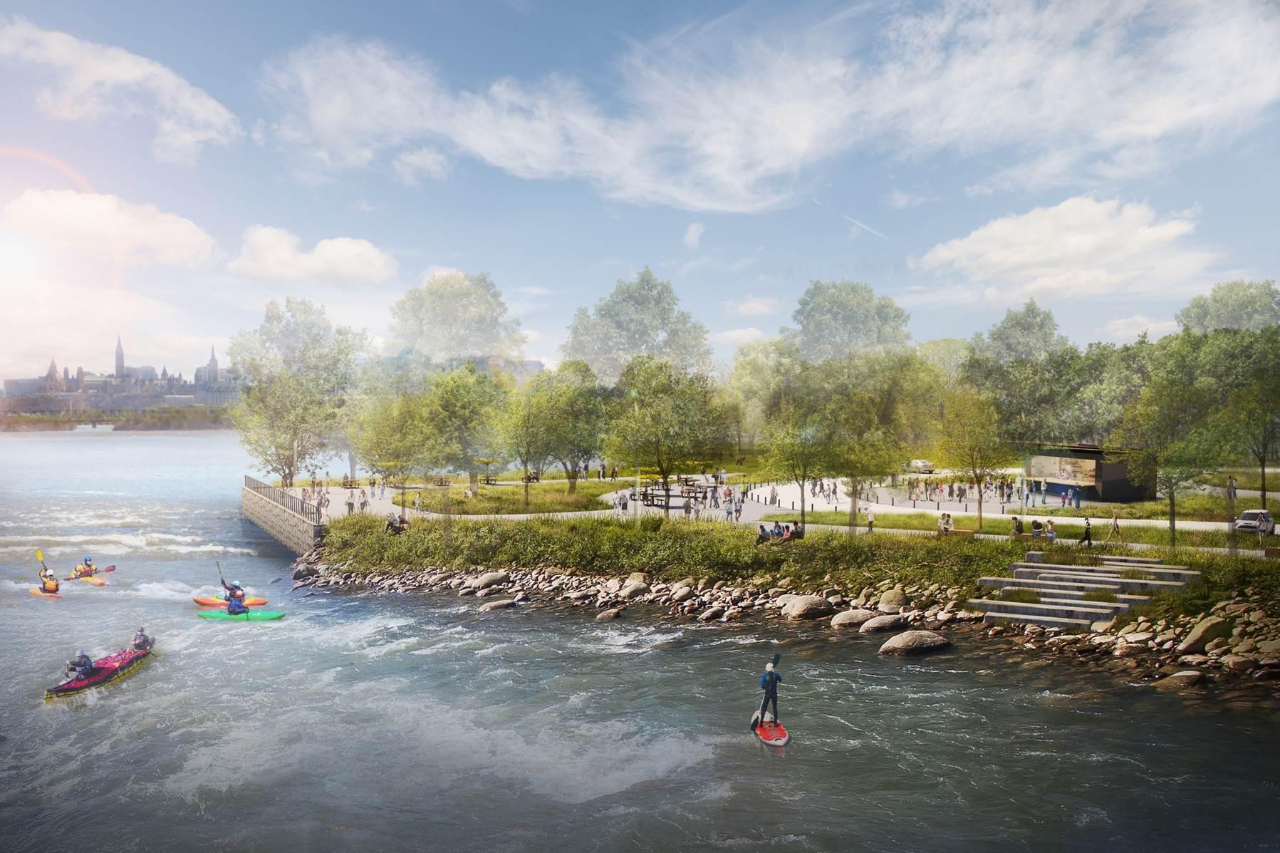
The Ottawa River South Shore Riverfront Park Plan creates a continuous riverfront park that contributes to environmental sustainability, is attractive and resilient, and enhances the recreational experience.
Based on extensive consultations with local residents, Indigenous communities and stakeholders, the plan will connect communities to the nine kilometres of riverfront lands between LeBreton Flats and Mud Lake Conservation Area.
The plan was approved by the NCC Board of Directors in June 2018.
Highlights of the plan
- Improved recreational opportunities along the shoreline, with programmable public areas
- Access to public amenities such as washroom facilities, water fountains, lookouts, bicycle parking, and food and beverage services
- Safer cycling and walking paths to increase public access to the river, as well as traffic-calming measures, including speed reduction
- A vegetation strategy to protect and enhance wildlife habitat
Public engagement
The development of the park plan has been informed by Indigenous communities, and by input from stakeholders and the public, via the following workshops and public consultations:
- In-person workshop on the existing issues and opportunities (May 27, 2014)
- In-person workshop (May 5, 2015) and online consultation (May 6 to 25, 2015) on the preliminary concept
- In-person workshop (March 23, 2016) and online consultation (March 23 to April 13, 2016) with revised concept
- Telephone survey of west Ottawa residents who regularly use the parkway (March 16 to April 1, 2016)
- Online consultation on the draft plan (January 25 to February 11, 2018)
Documents
- Ottawa River South Shore Riverfront Park Plan (39.24 MB)
- Executive Summary Sir John A Macdonald Survey (186.184 KB)
- Ottawa River South Shore Riverfront Park Plan - Public Consultation Report 2018 (2.009 MB)
- Ottawa River South Shore Riverfront Park Plan - Public Consultation Report 2016 (199.787 KB)
- Ottawa River South Shore Riverfront Park Plan - Public Consultation Report 2015 (243.958 KB)
- Ottawa River South Shore Riverfront Park Plan - Public Consultation Report 2014 (2.605 MB)