Advisory
Please take note of the following before your visit.
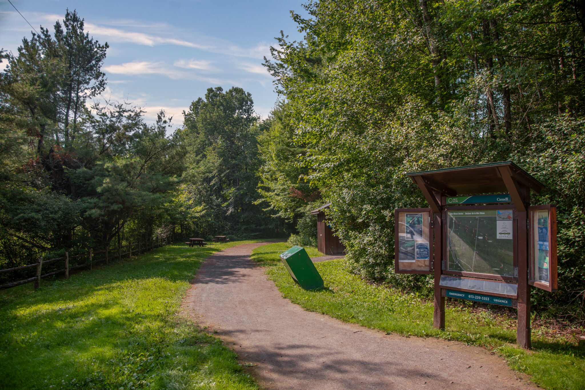
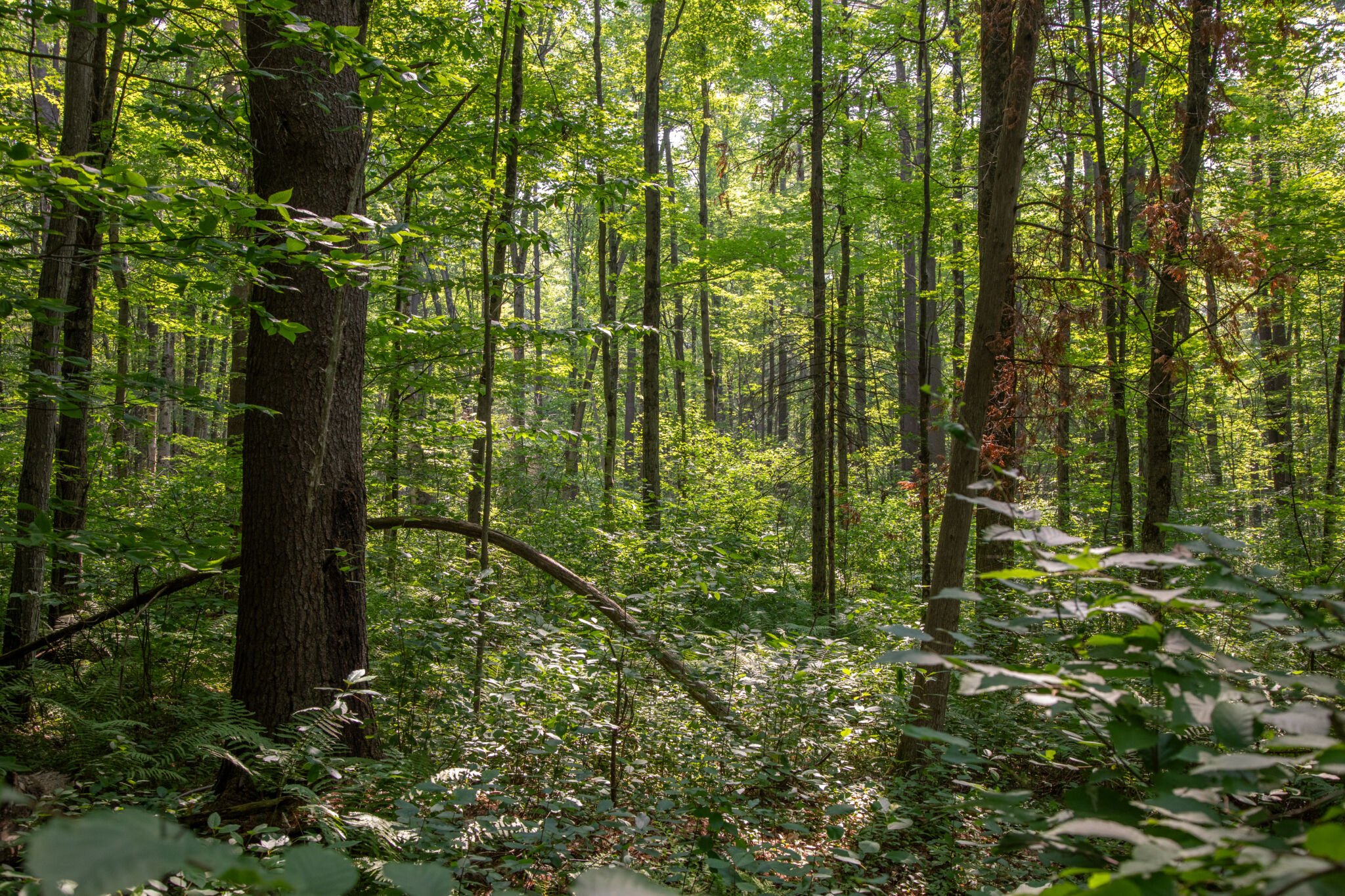
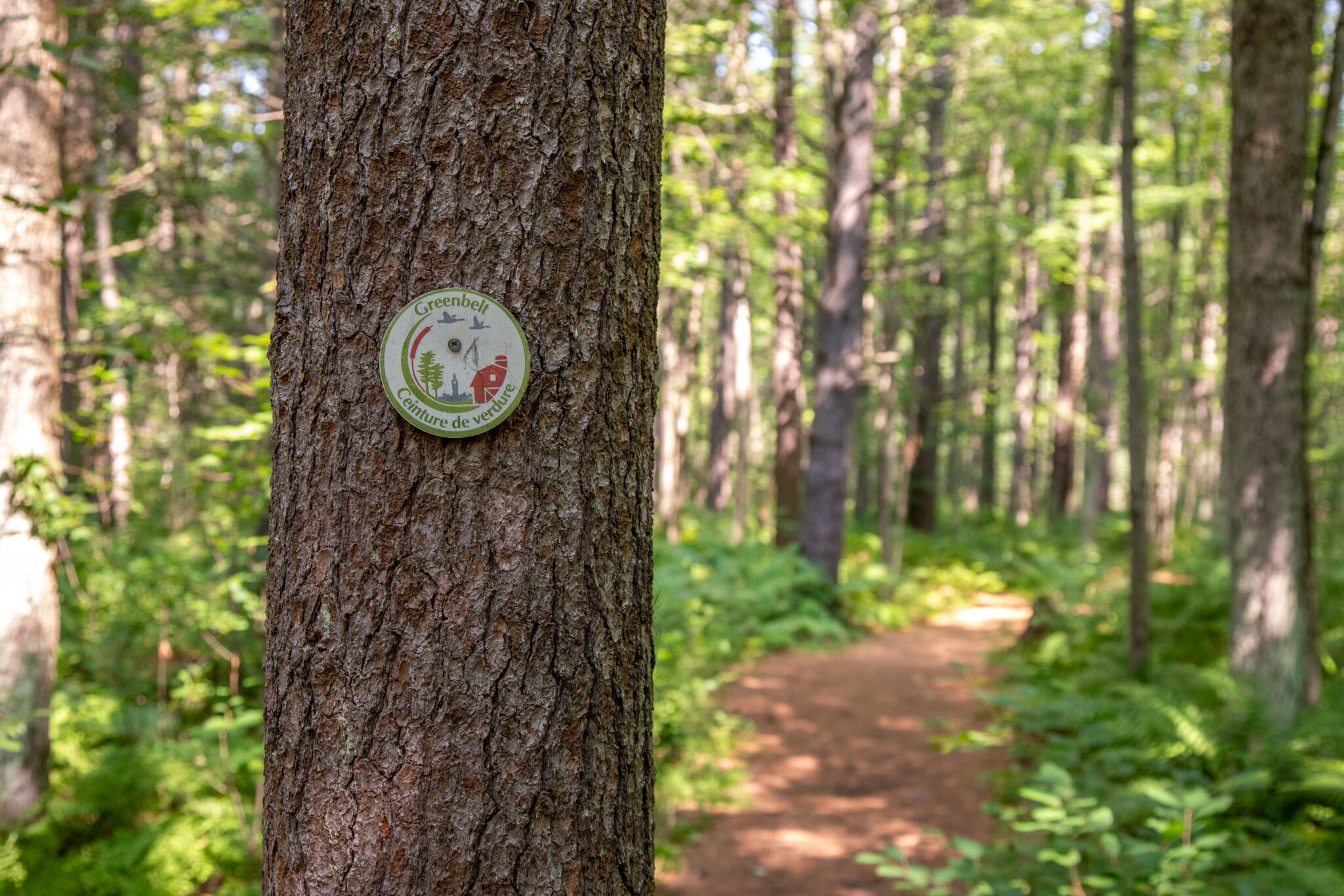
Trail 51 is located in the southeastern sector of the Greenbelt, in the Mer Bleue conservation area. This gentle loop meanders through the forest and diverse wetland.
From spring until fall, Trail 51 is one of the Greenbelt’s most accessible trails. It starts at parking lot P20 and follows a flat stone-dust and soil path.
Services
- Accessible parking: Yes
- Accessible washrooms: Yes
- Accessible picnic tables: Yes
- Benches: No
Trail details
Trail 51 is part of the NCC’s inclusive trails initiative.
- Trail length: 3.31 km
- Surface material: Stonedust / Soil
- Average trail width: 3 m
- Minimum trail width: 0.25 m
- Maximum slope: 12.92 %
- Average slope: 1.38 %
- Elevation loss: 21.74 m
- Elevation gain: 21.98 m
Potential accessibility barriers
- Steep slope: A 12% grade over approximately 60 m midway around the loop.
- Narrow passage: A section where the dirt path narrows to 0.3 m, with short grass on hard-packed ground on either side.
- Unavoidable lip: A short bridge where erosion has created uneven access and a slight lip.
The enhanced mapping of this trail for inclusive use is a collaborative effort between the Canadian Disabled Outdoor Society (CanDO) and the NCC’s Advisory Committee on Universal Accessibility.