The NCC manages hundreds of kilometres of trails in Ottawa and Gatineau across the National Capital Region. We believe that with clear and detailed information, anyone can decide if a trail is accessible and right for them.
As part of our inclusive trails initiative, we are working to make nature more accessible for everyone, including people with disabilities, wheelchair users and people with mobility challenges.
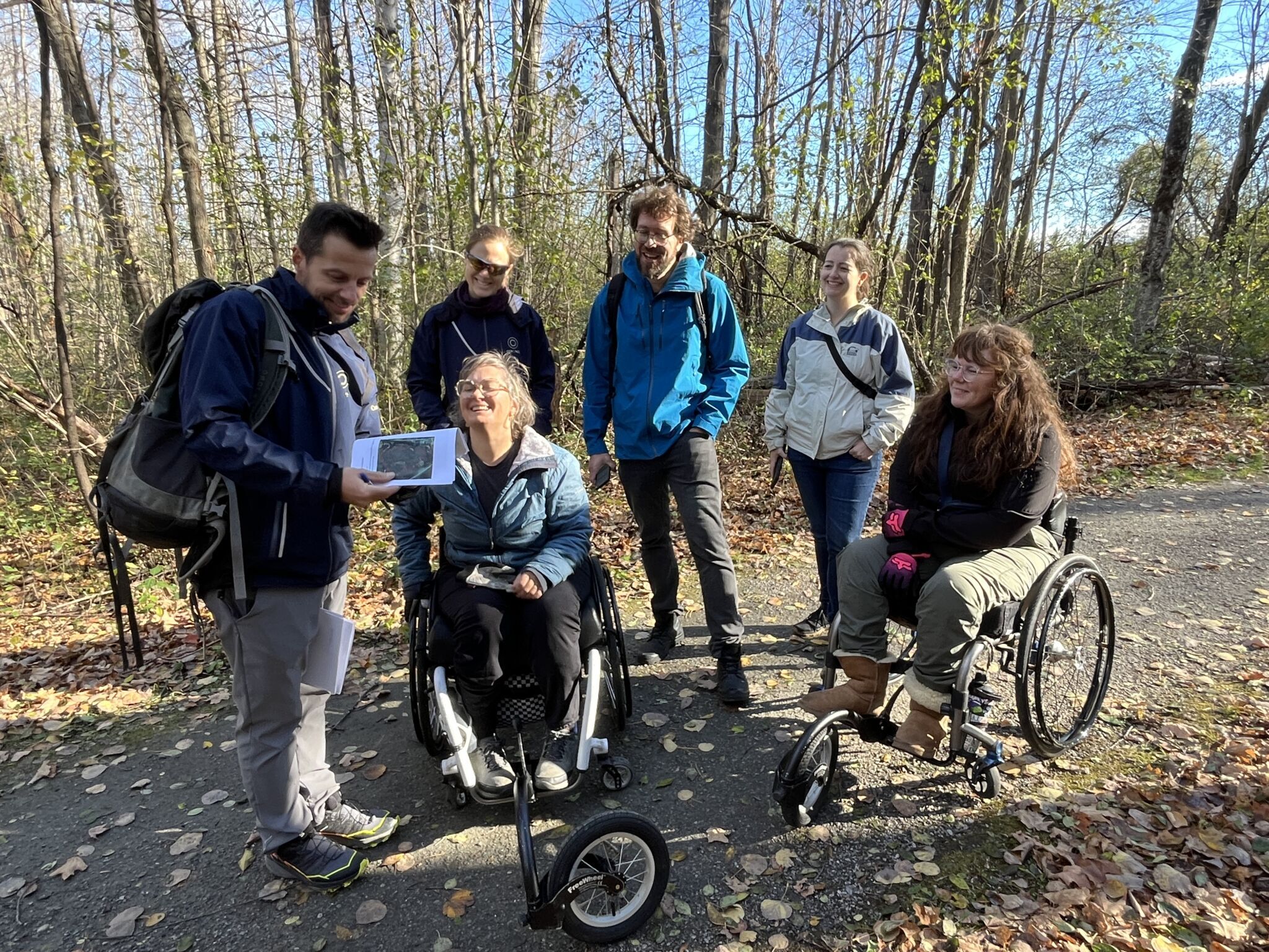
That’s why we have partnered with trail users living with mobility impairments to inspect a series of trails. Their feedback led to improvements in terms of amenities and removal of obstacles, and helped us create detailed trail information that supports informed choices for all.
Inclusive trails map
This web app highlights six popular trails in the Greenbelt and Gatineau Park that cover a total of 11.8 km. We hope to add more trails as we continue assessing them. Each trail description contains the following information:
- 360-degree trail photos
- Trail length and width
- Surface type
- Choke points and obstacles
- Slopes
- Services at trailheads (e.g. parking, toilets)
- Point of interest (e.g. benches, picnic tables, boardwalks)
Feedback
We want to hear from you. Your comments help guide future updates and identify opportunities for more inclusive design.
If you’ve used the map or visited any of the trails, please share your feedback using the form below or through client services.
This initiative is a collaborative effort between the Canadian Disabled Outdoor Society (CanDO) and the NCC’s Advisory Committee on Universal Accessibility.