Advisory
Please take note of the following before your visit.
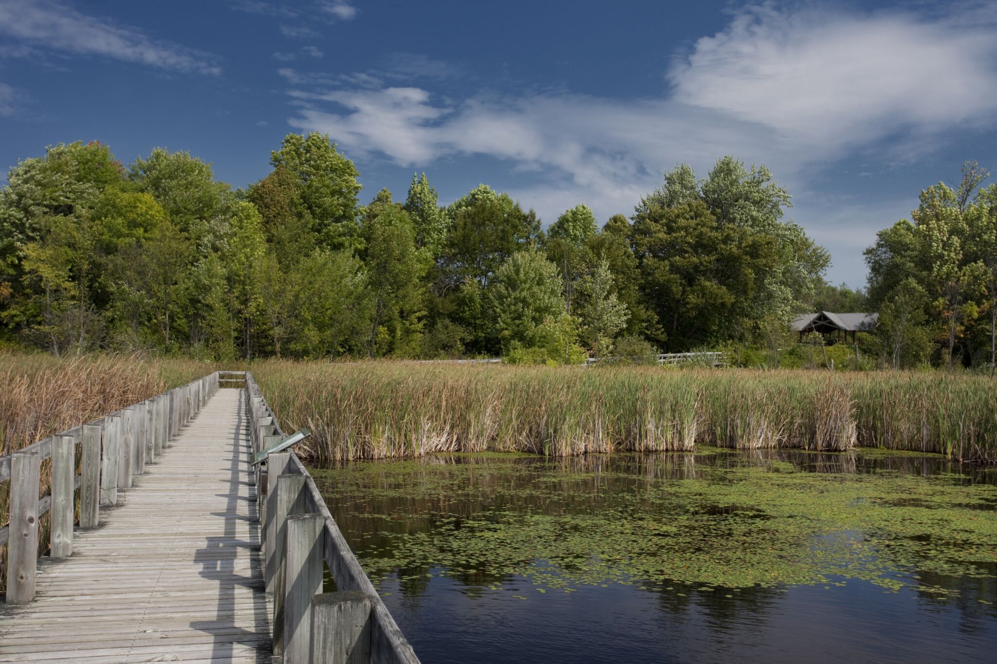
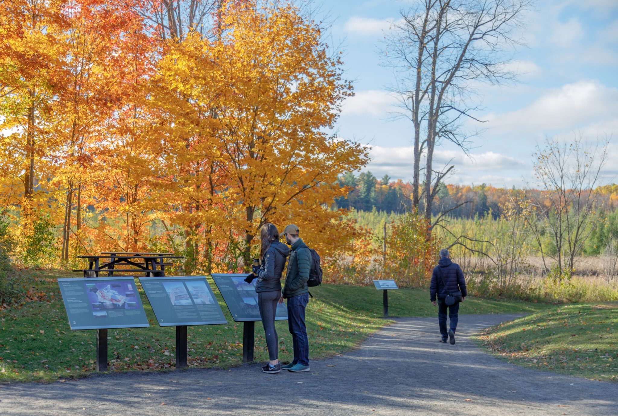
Mer Bleue Bog Trail is located in the southeastern sector of the Greenbelt, in the Mer Bleue conservation area. This gentle loop features interpretation panels about the evolution of the bog and its natural features. It is a busy spot that is popular with families as it’s an ideal location to take young children for a walk, even with a stroller.
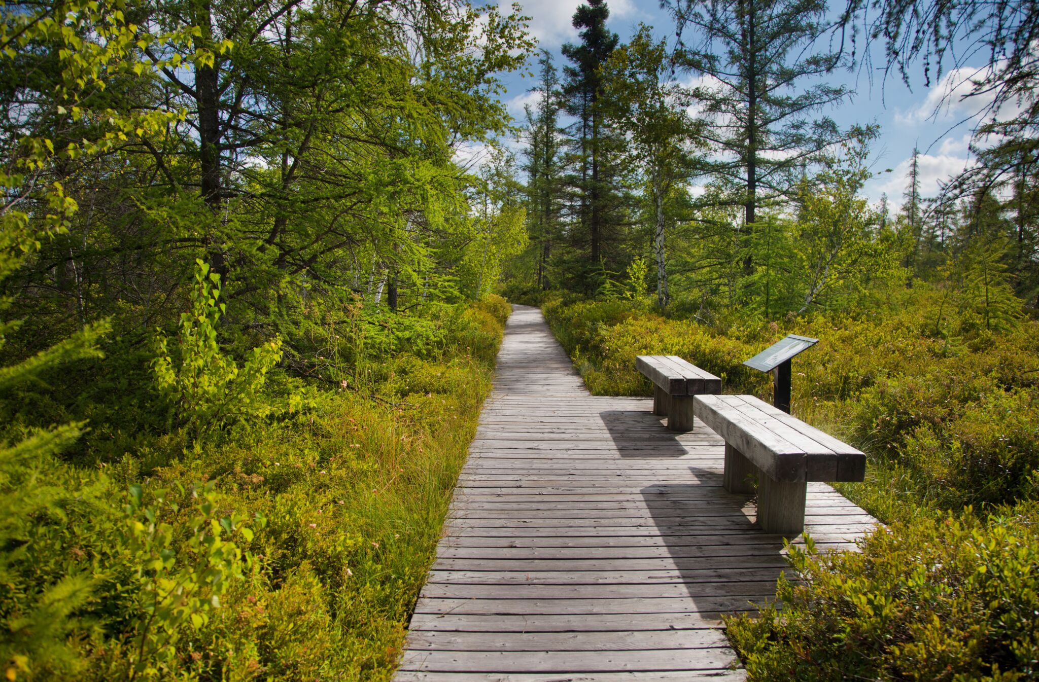
From spring until fall, Mer Bleue Bog Trail is one of the Greenbelt’s most accessible trails. It starts at parking lot P22 and follows a mostly flat, stone-dust path that leads down a ramp to a wooden boardwalk.
Services
- Accessible parking: Yes
- Accessible washrooms: Yes
- Accessible picnic tables: Yes
- Benches: Yes
Trail details
Mer Bleue Bog Trail is part of the NCC’s inclusive trails initiative.
- Trail length: 1.36 km
- Surface material: Stonedust / Wood
- Average trail width: 3 m
- Minimum trail width: 1.2 m
- Maximum slope: 14.8 %
- Average slope: 2.01 %
- Elevation loss: 15.58 m
- Elevation gain: 13.02 m
Potential accessibility barriers
- Limited railing: Boardwalk railing only along bridges.
- Narrow passage: The boardwalk is narrow in places, which may make it hard to pass others coming from the opposite direction. Some wider sections allow for passing.
- Steep side slope: Steeper, off-camber (side-sloped) hill at the end of the boardwalk. You can avoid this hill by turning back.

The enhanced mapping of this trail for inclusive use is a collaborative effort between the Canadian Disabled Outdoor Society (CanDO) and the NCC’s Advisory Committee on Universal Accessibility.