Advisory
Please take note of the following before your visit.
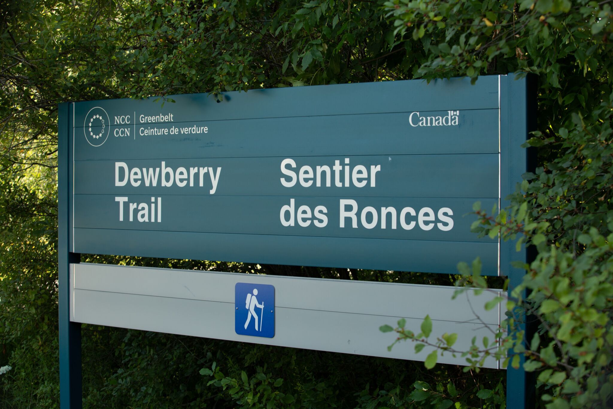
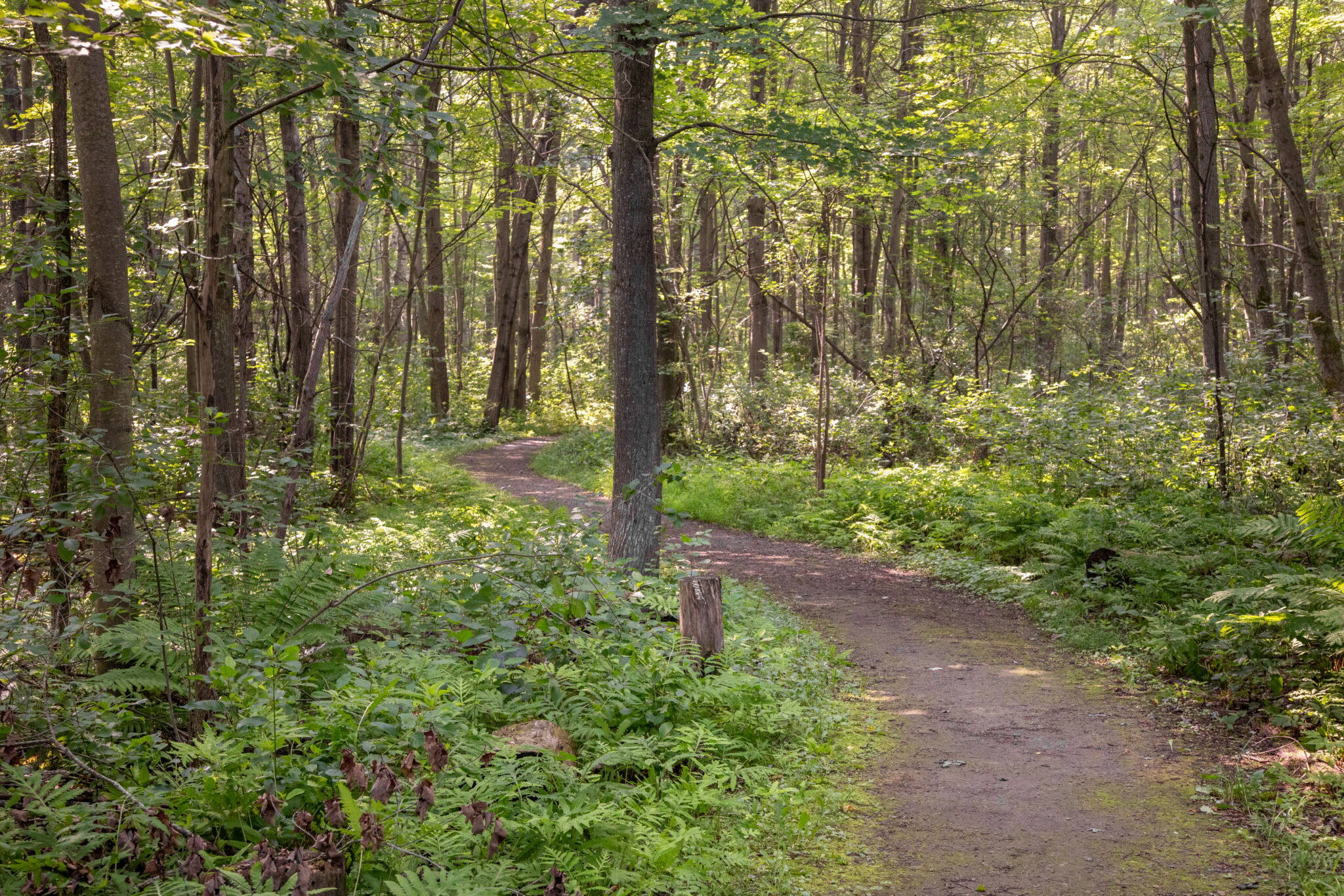
Dewberry Trail is located in the southeastern sector of the Greenbelt, in the Mer Bleue conservation area. This gentle loop meanders through a mature, deciduous forest.
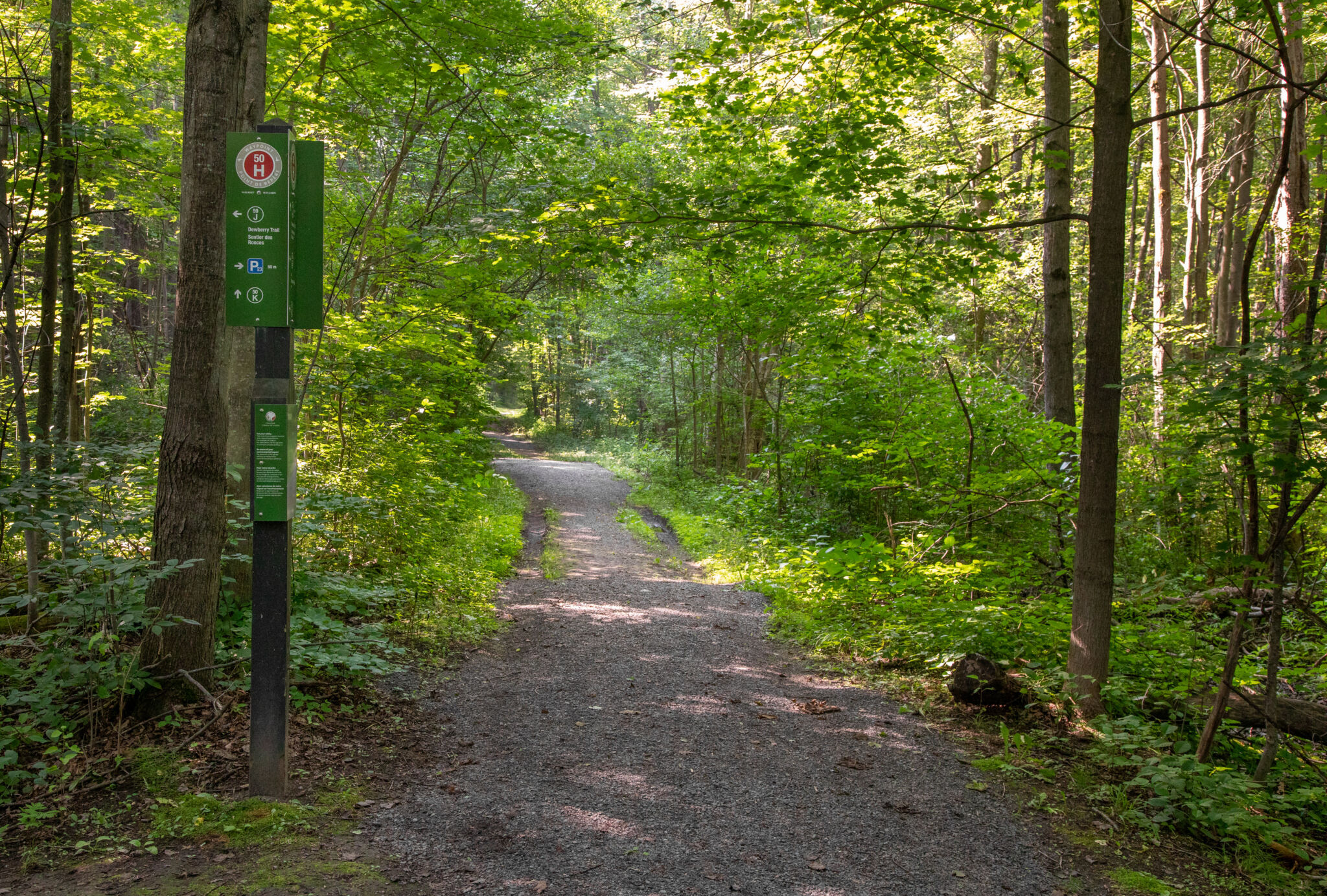
From spring until fall, Dewberry Trail is one of the Greenbelt’s most accessible trails. It starts at parking lot P23 and follows a flat gravel and soil path.
Services
- Accessible parking: Yes
- Accessible washrooms: Yes
- Accessible picnic tables: No
- Benches: No
Trail details
Dewberry Trail is part of the NCC’s inclusive trails initiative.
- Trail length: 0.53 km
- Surface material: Gravel / Soil
- Average trail width: 3 m
- Minimum trail width: 1.7 m
- Maximum slope: 9.71 %
- Average slope: 1.62 %
- Elevation loss: 4.25 m
- Elevation gain: 4.25 m
Potential accessibility barriers
- Narrow passage: A boulder separates the trail entrance from the parking lot, with openings of 1 m and 1.7 m on either side.
The enhanced mapping of this trail for inclusive use is a collaborative effort between the Canadian Disabled Outdoor Society (CanDO) and the NCC’s Advisory Committee on Universal Accessibility.