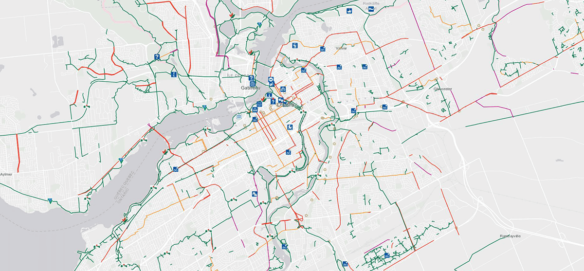
The following pathways, located in the Greenbelt, are all part of the Capital Pathway network.
Greenbelt Pathway West
The western section of the Greenbelt Pathway is 21.2 kilometres in length. The path is mostly flat, with some hills, and passes through forests, fields and farm landscapes. It connects to the Watts Creek Pathway and is part of the Trans Canada Trail. Segments of the Greenbelt Pathway West have either asphalt or stone dust surfaces.
Watts Creek Pathway
The Watts Creek Pathway is west of Ottawa in the Shirleys Bay area. This 9.3-kilometre trail connects to the Greenbelt Pathway West and Kichi Zībī Mīkan (previously known as the Sir John A. Macdonald Parkway), and is part of the Trans Canada Trail. The Watts Creek Pathway has an asphalt surface.
Greenbelt Pathway East
The eastern portion of the Greenbelt Pathway is 12.5 kilometres in length, and connects to the Ottawa River Pathway. The Greenbelt Pathway East has a stone dust surface.
Snow biking
Safety and Courtesy on the Capital Pathway
Pedestrians, runners, cyclists, in-line skaters and people with mobility impairments share the pathway. Follow these rules to help keep the pathways safe and fun for everyone.
Documents
- Ottawa–Gatineau Cycling Map (52.941 MB)