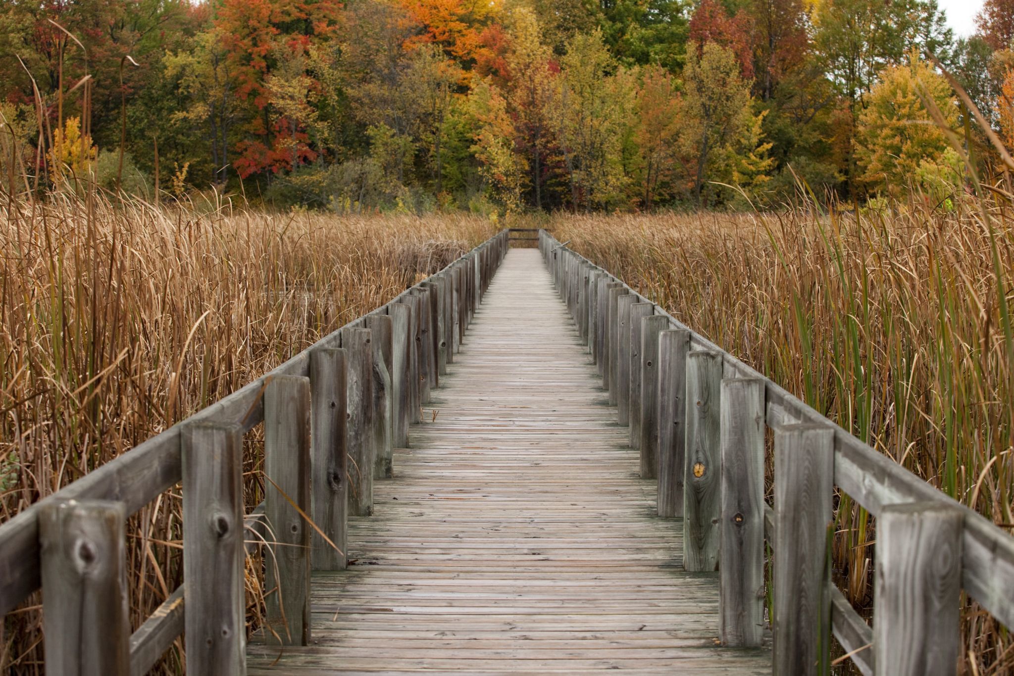
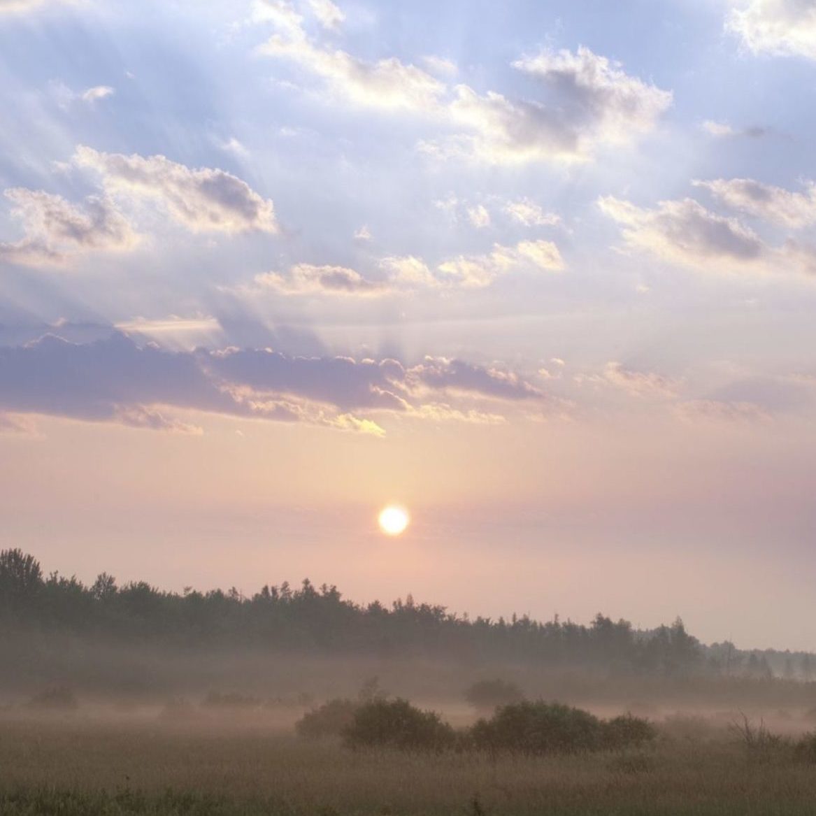
Just 10 km southeast of Parliament Hill, lies one of the region’s most valuable natural assets: the Mer Bleue wetland. Measuring roughly 3,500 hectares, Mer Bleue is a symbol of Canada’s boreal wilderness, and is designated as an internationally significant wetland, due to its ecological and cultural importance. Here are a few reasons why it is treasured by many.
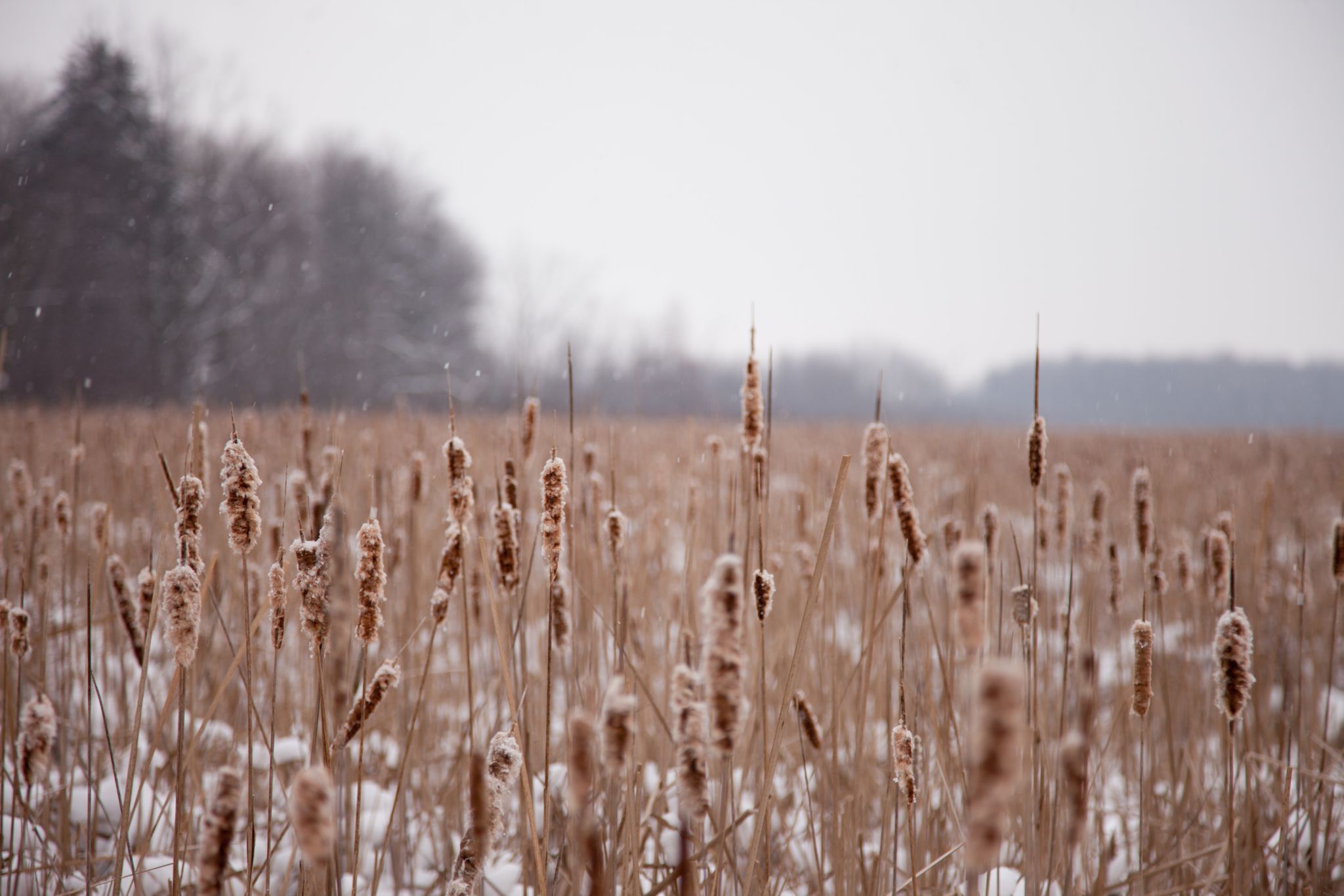
- It is a remnant of the last glacial period. Experts estimate that it is 7,700 years old!
- It is the largest natural ecosystem in the Greenbelt, and boasts the largest peat bog in the region.
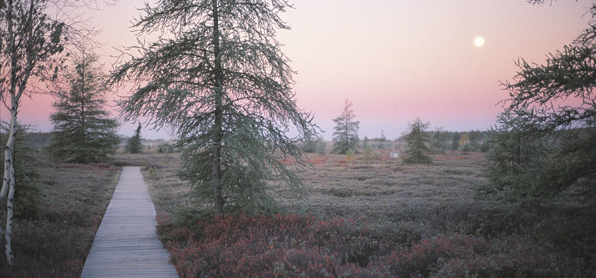
- It is a place of great beauty, where nature flourishes and evolves, supporting self-sustaining populations of many species outside of their normal range.
- Scientific research conducted on-site has contributed to knowledge about topics such as wetland functions and values, wildlife species at risk, and carbon cycling in peat bogs.

A long-standing history
The Mer Bleue Bog has a long-standing history that predates the NCC. It is a natural wetland, as opposed to a human-made one. In fact, through its modern history, it has been seen as an inconvenience to development, and people have tried to get rid of it — fortunately without success.
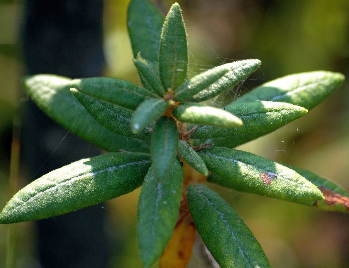
We know that, as early as the 1500s, First Nations people used the bog to get medicine from wintergreen and Labrador tea, and food from blueberry and cranberry plants.
Then, in the early 1600s, the first Europeans landed in Canada. Where explorers saw barriers to travel, fur traders saw an important source of beaver pelts.
Approximately 200 years later, lumber workers came and began to clear-cut the region’s forests. As Mer Bleue had no harvestable timber, they ignored it — apart from clearing the nearby sand ridges.
In the 1840s and well into the 1900s, farmers and homesteaders saw the wetlands as wasteland. While they initially left Mer Bleue alone, there were eventually some small-scale attempts at drying the wetland by burning its peat soil.
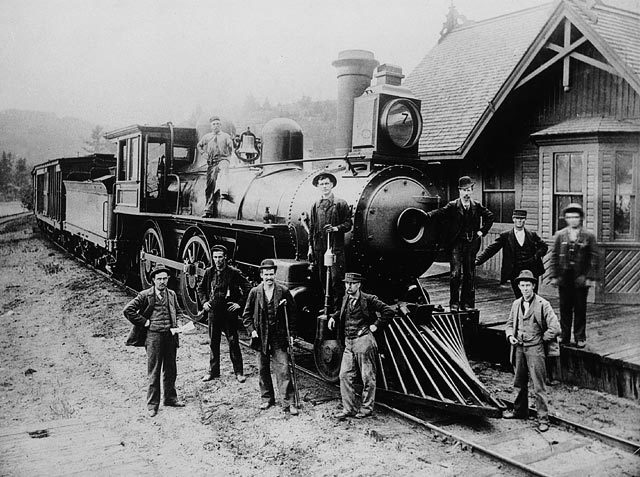
The first real assault on Mer Bleue began in earnest in the 1920s and ’30s, with the construction of a system of drainage ditches. Fortunately, these attempts failed. Shortly after, two rail lines were built: the Canadian National Railway to the south (the line to Montréal), and the Canadian Pacific Railway to the north, which is presently an abandoned VIA Rail Canada line.
In 1942, Canada’s Department of National Defence expropriated the bog to serve as a bombing range for practice during the Second World War. Ownership by National Defence in the postwar era of rapid urbanization helped keep the bog in a natural condition, except for the odd bomb crater still preserved.


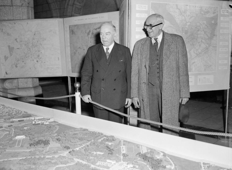
In 1950, planner Jacques Gréber proposed the creation of a greenbelt for the Capital Region. This far-sighted plan recognized the value and importance of both natural and agricultural lands adjacent to cities. In 1958, the NCC began buying the land that makes up the Greenbelt. By 1966, most of the Greenbelt lands, including Mer Bleue, had been acquired.
In the 1960s, part of the Mer Bleue Bog was considered as a site for a city dump (yes, you read that right). But from 1960 into the ’70s, scientists and local naturalists continued to reveal the ecological importance of Mer Bleue. Their findings resulted in its designation as a provincially significant wetland in 1983, and federal designation as a wetland of international importance under the Ramsar Convention in 1995.
A beauty well protected
The Greenbelt was set out in the 1950 General Report on the Plan for the National Capital by the Federal District Commission (which was renamed the National Capital Commission in 1959). Land was acquired through purchase and expropriation in the ’60s and ’70s. It has since become the largest publicly owned greenbelt in the world.
The NCC continues to manage and protect the Greenbelt to preserve natural gems like Mer Bleue for generations to come.
What will it look like in 50, 100 or 1,000 years from now? We can only hope that future generations will cherish this protected land that makes us want to rediscover it every time we go there.