
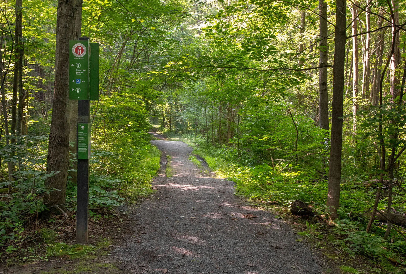
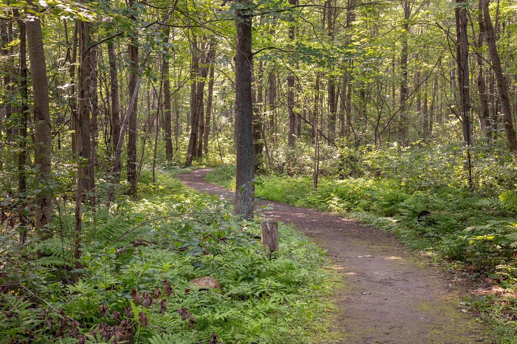
Dewberry Trail is located in the southeastern sector of the Greenbelt, in the Mer Bleue conservation area. This gentle loop meanders through a mature, deciduous forest.
From spring until fall, Dewberry Trail is one of the Greenbelt’s most accessible trails. It starts at parking lot P23 and follows a flat gravel and soil path.
Services
- Accessible parking: Yes
- Accessible washrooms: Yes
- Accessible picnic tables: No
- Benches: No
Trail details
Dewberry Trail is part of the NCC’s inclusive trails initiative.
- Trail length: 0.53 km
- Surface material: Gravel / Soil
- Average trail width: 3 m
- Minimum trail width: 1.7 m
- Maximum slope: 9.71 %
- Average slope: 1.62 %
- Elevation loss: 4.25 m
- Elevation gain: 4.25 m
Potential accessibility barriers
- Narrow passage: A boulder separates the trail entrance from the parking lot, with openings of 1 m and 1.7 m on either side.
The enhanced mapping of this trail for inclusive use is a collaborative effort between the Canadian Disabled Outdoor Society (CanDO) and the NCC’s Advisory Committee on Universal Accessibility.