Paul Sheehy
Manager, Legal Surveys
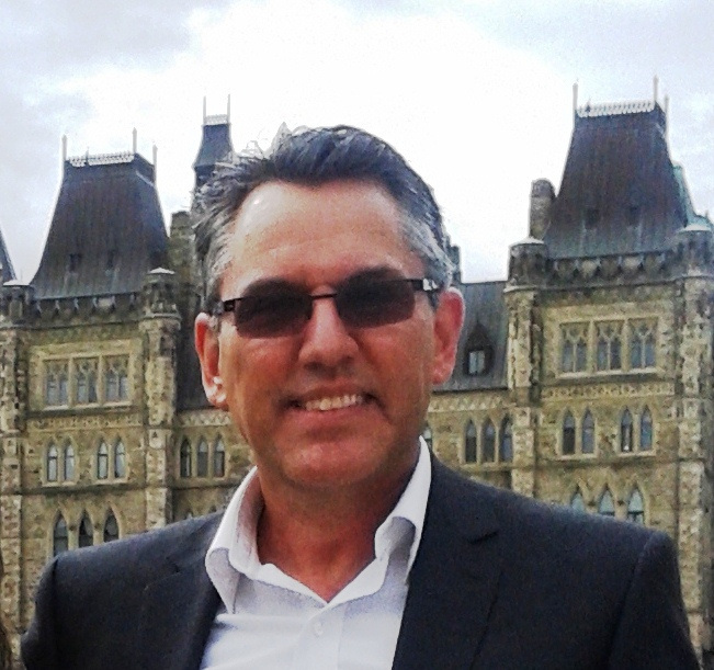
I’ve been a surveyor for over 30 years, having spent 24 of them working for the NCC as the manager of legal surveys. Even after all these years, I love my job as much as ever.
My work involves supervising surveys for planning and development projects, managing property information and titles, and offering advice on NCC property matters.
A Colossal Task
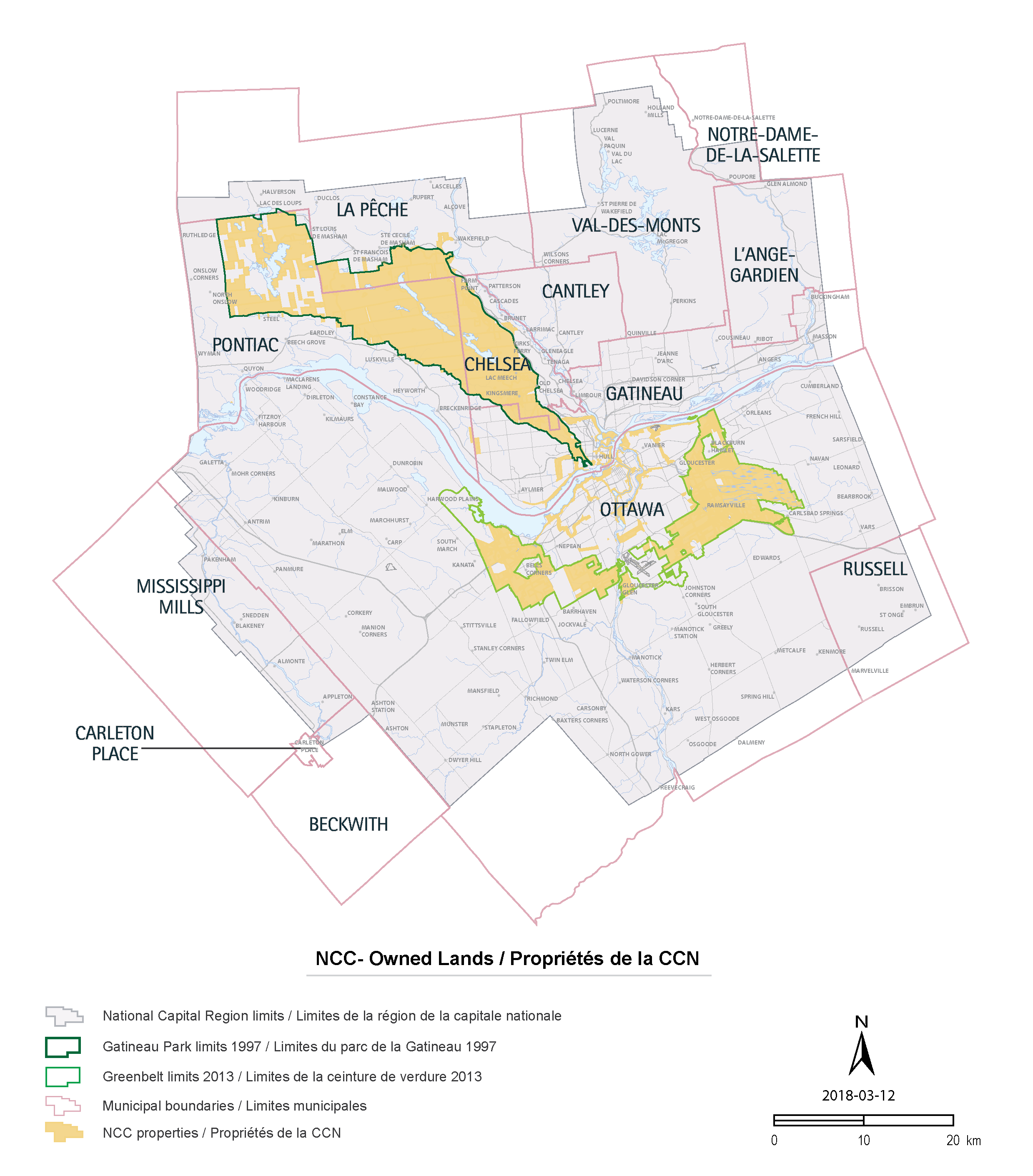
The NCC owns and manages over 11 percent of lands in the National Capital Region, making it the region’s largest landowner. The geomatics team collects, processes and analyzes data on all lands and properties belonging to or managed by the NCC, and therefore is responsible for surveying an area covering more than 500 square kilometres.

My area of expertise is property ownership and land demarcation. My team and I identify and mark NCC property lines and record the relevant information in our database. Consider for a moment that these lines, placed end-to-end, would run the distance between Montreal and Iqaluit!
Major Projects
The data that my team gathers shine a valuable light on decisions made by the NCC concerning development, transaction and planning projects. Everything that happens on Crown corporation lands concerns the geomatics team.
The following is a list of five major projects that we worked on recently:
- Ottawa River South Shore Riverfront Park
- LeBreton Flats Redevelopment
- Bronson Pulp Mill ruins and Richmond Landing shoreline
- Ottawa light rail train
- Chaudières Island redevelopment
The Light Rail Train
Throughout my career with the NCC, I have been involved in a wide range of projects, each more interesting than the last. One of the more recent projects was Ottawa’s light rail train.
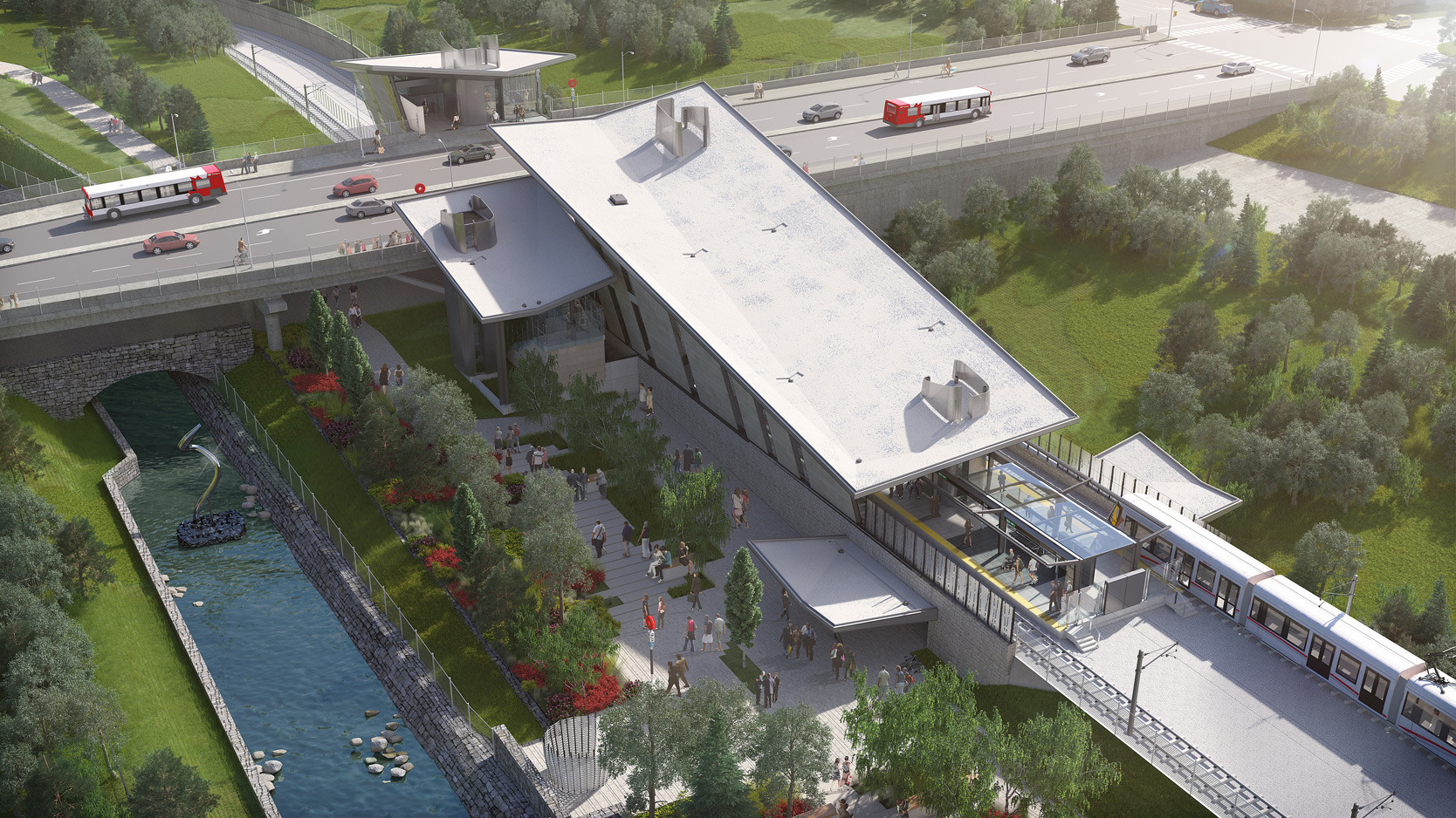
Phase 1 of the project, the Confederation Line, is currently under construction. It includes a 2.5 kilometre tunnel stretching from LeBreton Flats to the University of Ottawa, through the downtown core. The complexity of this kind of project demands an exhaustive effort, but the work is extremely interesting. Our team developed various plans for this project, and provided information and advice to different NCC groups.

The New Ottawa Hospital
I’ve been involved in this project from the beginning by preparing maps and providing information for the various sites. Once the final site was chosen, we prepared different maps and plans showing the proposed boundaries. I was also involved in surveys and real estate transactions for the final project, including the transfer of NCC lands that were required.
Sparks Street Public Realm Plan
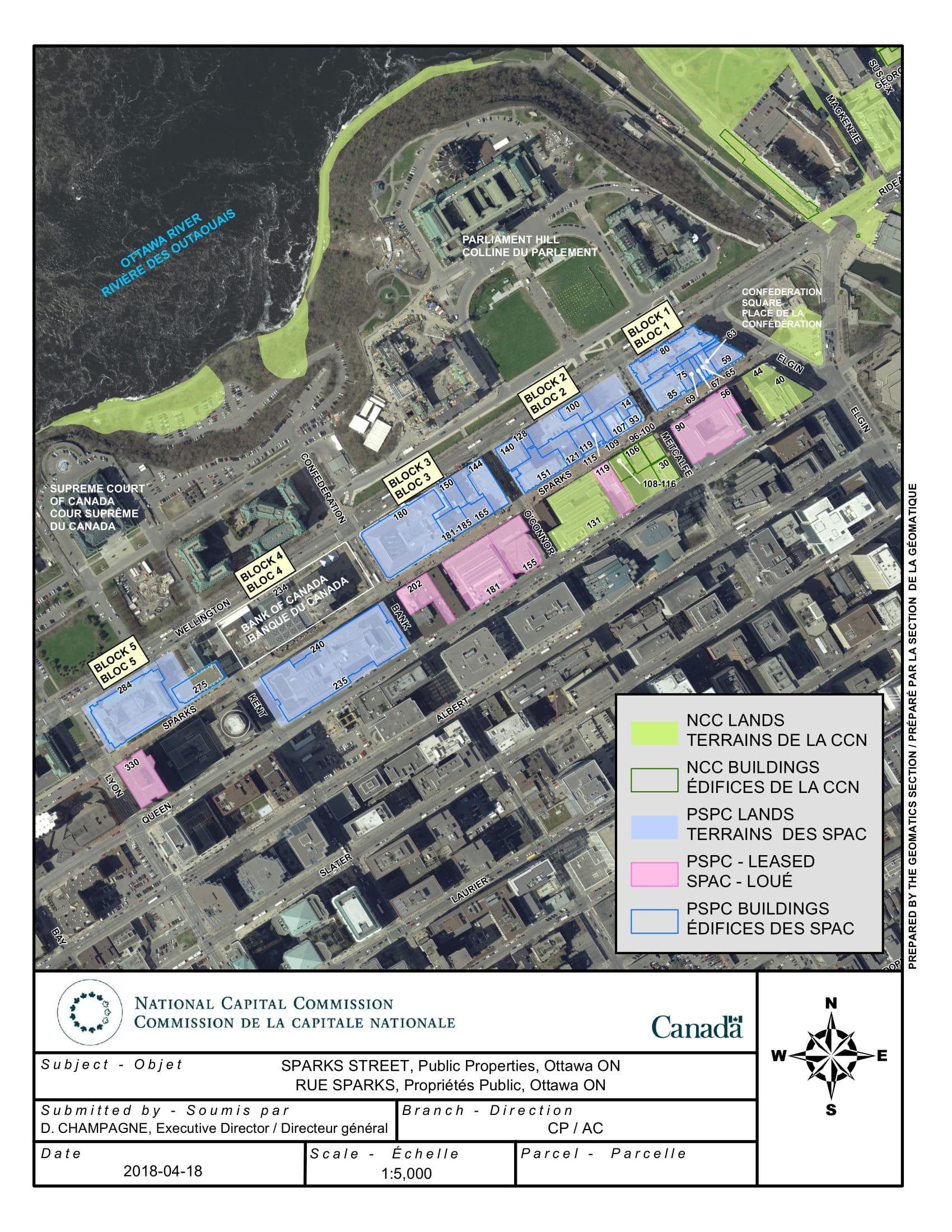
The goal of this project is to revive Sparks Street, attract more people and enliven the downtown core. New activities, streetscapes and building renovations are planned to enhance the area. One important consideration is the ownership of buildings adjacent to Sparks Street. In fact, ownership and property rights information is critically important for many groups in the NCC. The NCC is a major property owner on the south side of Sparks Street, from O’Connor to Elgin streets.

Greenbelt Natural Link
The purpose of the Greenbelt natural link is to secure a corridor for the safe movement of wildlife within the Greenbelt. I helped to design the corridor, and to prepare maps, surveys and legal descriptions to properly establish its boundaries. This was done in consultation with a number of groups, including the Ottawa International Airport Authority.
Even after 30 years, I still learn something new from working on these exciting projects and being part of an inspiring team every day.
